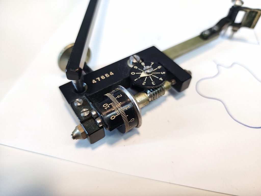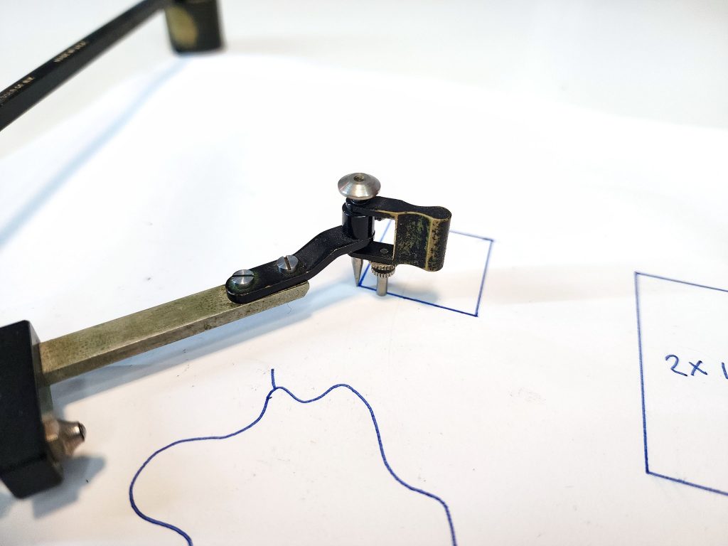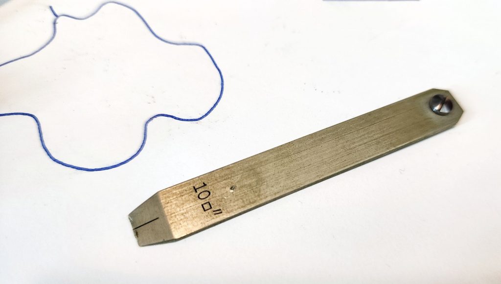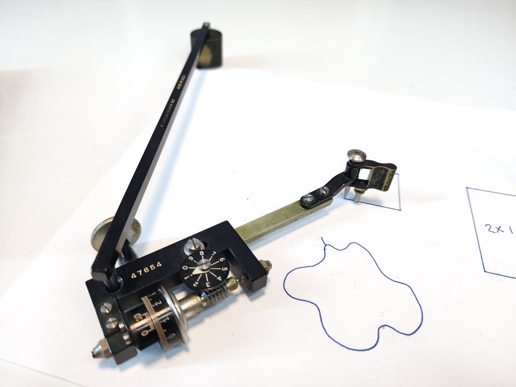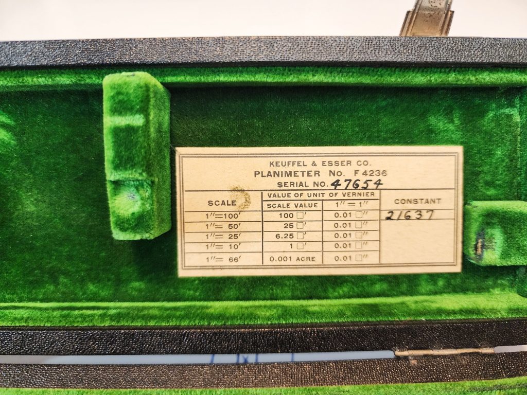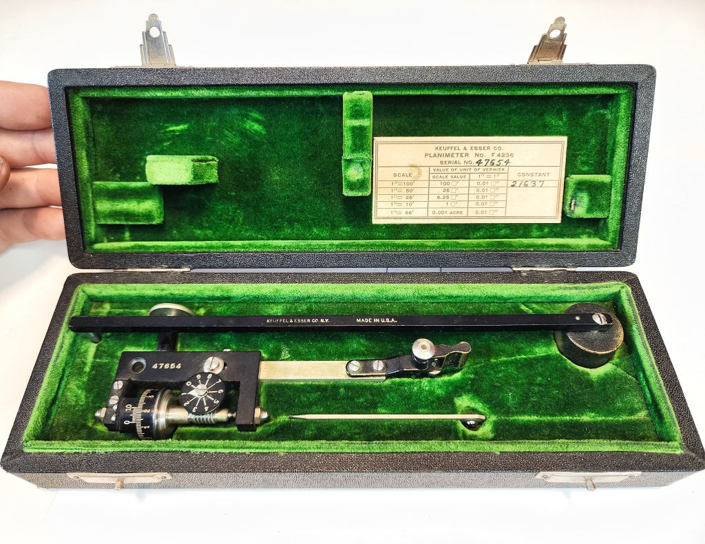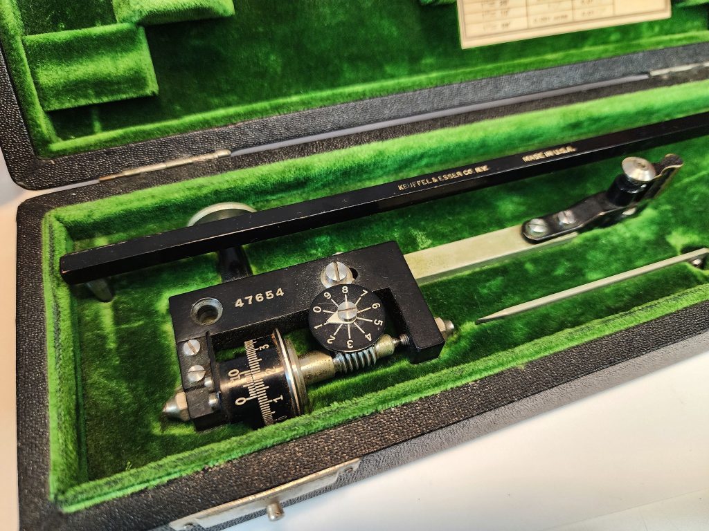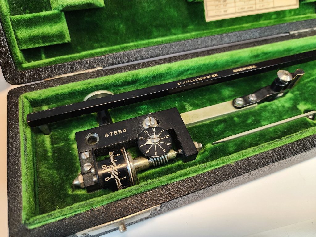
The Compensating Polar Planimeter, a marvel of mechanical engineering, is a specialized instrument used for measuring the area of irregularly shaped two-dimensional objects on a flat surface. Its operation relies on a principle known as geometric integration, allowing precise determination of area without the need for complex mathematical calculations.
How it Works:
- Tracing the Boundary: To begin measuring, the user places the sharp tracing point of the planimeter at the starting point of the object’s boundary on the drawing or map to be measured.
- Rotation and Integration: As the user traces along the object’s boundary with the planimeter, the instrument simultaneously rotates around a fixed point, typically its pole or fulcrum. This rotation translates the movement of the tracing point into a series of radial and circumferential movements, effectively integrating the distance traced.
- Recording the Measurement: The integrated distance traced by the planimeter corresponds to the area of the object being measured. This area is typically displayed on a calibrated dial or scale attached to the instrument, providing a direct readout of the measured area.
- Compensation for Errors: The term “compensating” in the name refers to the planimeter’s ability to correct for errors introduced by factors such as instrument tilt or drawing irregularities. Through clever mechanical design, compensating planimeters ensure accuracy by automatically adjusting for these errors during measurement.
Historical Use:
Back in the day, before the advent of digital technology and computer-assisted design, compensating polar planimeters were indispensable tools for engineers, cartographers, and draftsmen. Their precise measurement capabilities made them essential for tasks such as:
- Cartography: Mapmakers used planimeters to accurately measure the areas of land masses, bodies of water, and other geographic features depicted on maps.
- Engineering Design: Engineers utilized planimeters to calculate the areas of irregularly shaped components and land plots when designing structures, machinery, and infrastructure projects.
- Architectural Drafting: Architects relied on planimeters to measure building footprints, floor plans, and other architectural drawings, ensuring accurate area calculations for construction projects.
Despite advancements in digital measurement technology, compensating polar planimeters continue to hold a place of reverence among enthusiasts and professionals for their elegant mechanical design and unparalleled precision in measuring complex shapes and areas.
In summary, the Compensating Polar Planimeter remains a timeless testament to the ingenuity of mechanical engineering, providing a tangible link to a bygone era of precision measurement and drafting.
Here is a quick video showing it in operation!
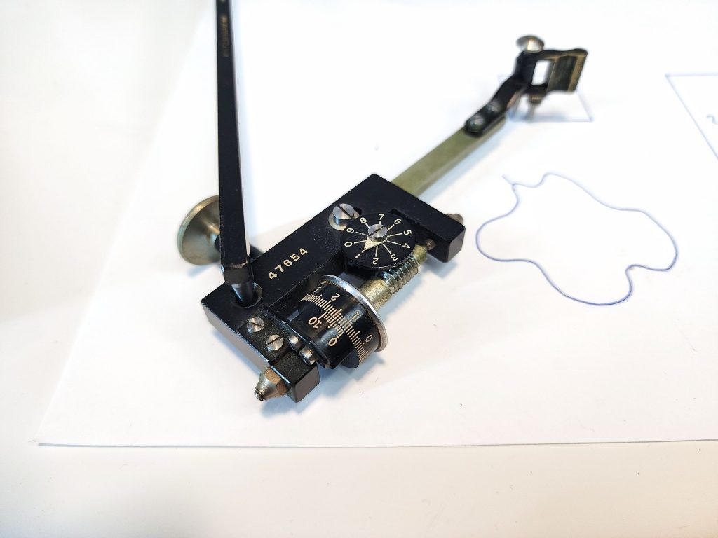
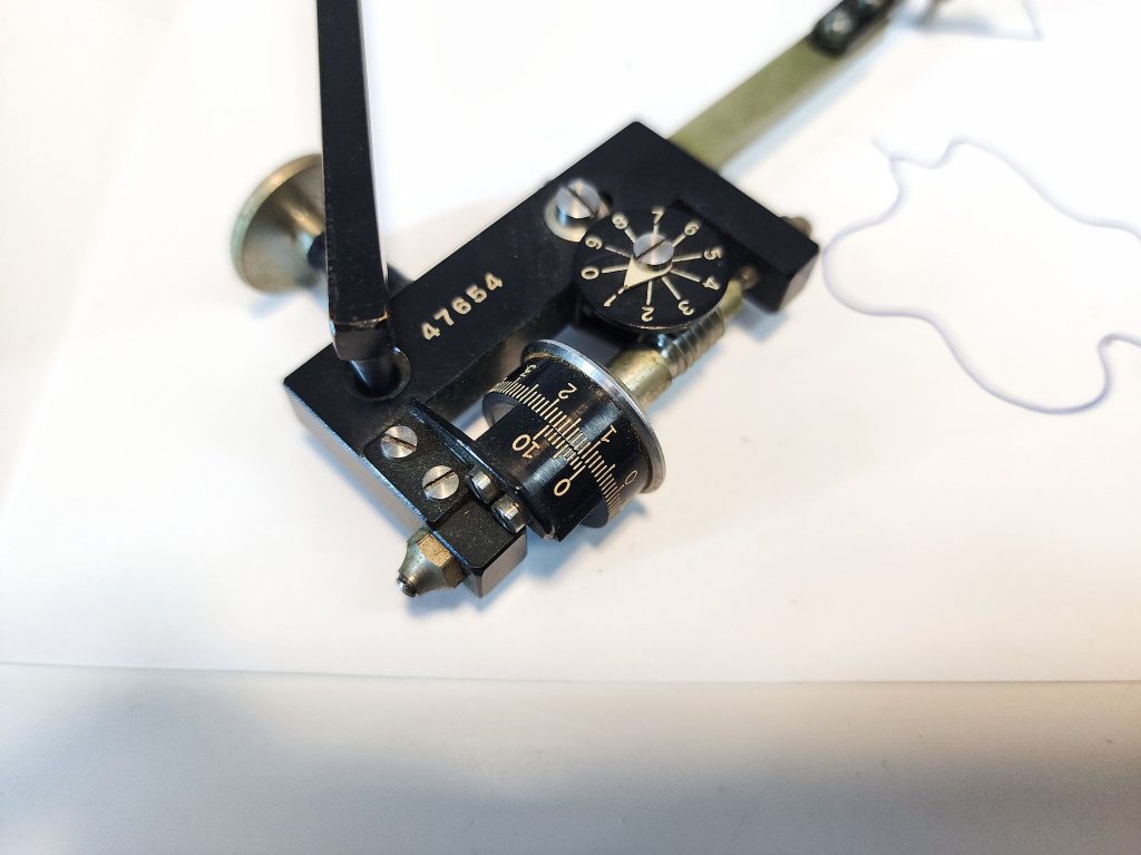
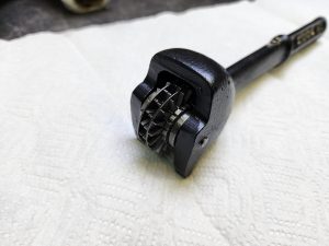
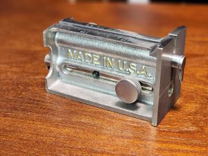
And some close up photos:
